

The Salem rail trail, mile by mile
Five miles of old Boston & Maine railbed, from Canobie Lake to the Massachusetts line, with a cow tunnel and a depot along the way.
The Salem NH rail trail, officially the Salem Bike-Ped Corridor, follows the old Boston & Maine railroad line for about five miles, from the Windham town line to the Massachusetts border at Hampshire Road. The northern stretch, just under two miles to Salem Depot on Main Street, is paved. South of Main Street the trail is unpaved for now and better for walking and mountain bikes. The town is planning to pave the next mile.
The Salem NH rail trail at a glance
- Length: 4.95 miles, mile 0.0 at the Windham line to mile 5.0 at the Methuen line, on the town’s trail map
- Surface: paved from the north end to Main Street; gravel and dirt south of Main Street
- Parking: a trailside lot at the Windham line, entered from Route 28, and the municipal lot across Main Street from Salem Depot
- Connections: the Windham Rail Trail to the north and the paved Methuen Rail Trail to the south
- Part of: the Granite State Rail Trail, a work-in-progress route meant to run the length of New Hampshire
The route, mile by mile
The town’s official map marks the trail every half mile, starting at the north end. Here is what you pass, heading south.
Mile 0.0 to 1.0: Canobie Lake and the cow tunnel
The trail starts at the Windham line, near Shadow Lake Road, at a small parking lot with a bike repair station. Canobie Lake lies just to the west. A marker shows the site of the former Canobie Lake Station, a Boston & Maine stop. Around mile 0.5, look for the sign marking the halfway point between Boston and Concord. Between the half-mile and one-mile markers you reach the Historic Cow Tunnel (more below).
Mile 1.0 to 1.9: into Salem Depot
The paved path runs parallel to North Broadway (Route 28). Near mile 1.5 there is an observation deck, then a picnic area at Willow Street. The pavement ends at Salem Depot, where the trail meets Main Street. With parking across the street, it is a good place to start.
Mile 1.9 to 5.0: the unpaved south end
South of Main Street the corridor turns to gravel and dirt and runs alongside South Broadway. It crosses Rockingham Park Boulevard at Tuscan Village near mile 2.8, then Cluff Crossing Road. Past mile 4.0 it crosses the Spicket River on a bridge. At mile 5.0 it reaches Hampshire Road and the Massachusetts line, where the paved Methuen Rail Trail picks up.
The cow tunnel and the depot
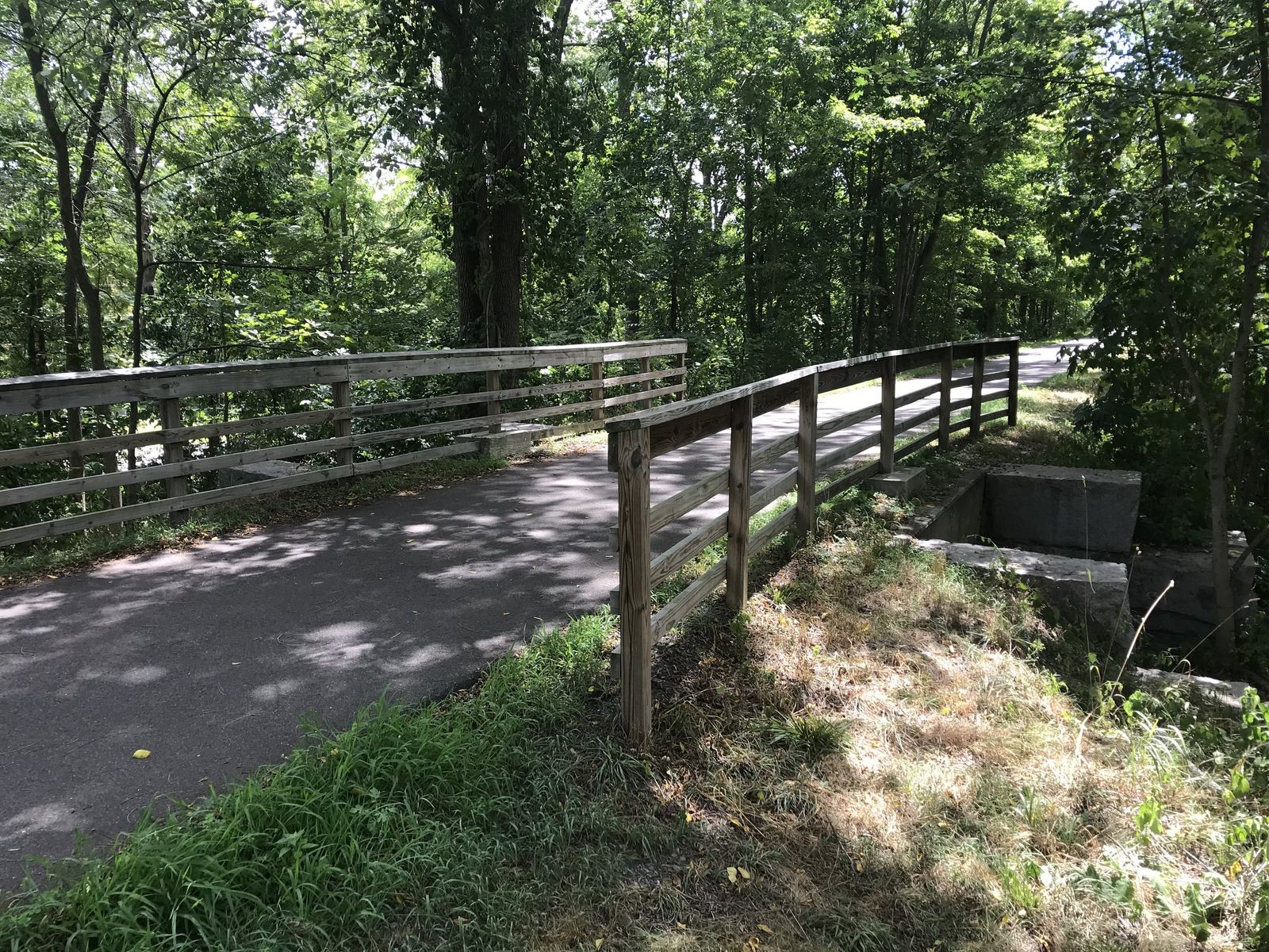
The Historic Cow Tunnel sits between the half-mile and one-mile markers on the town’s map. You barely notice it from the trail: the path crosses a short span with wooden railings, and the cut stone blocks of the old passage show below. Stop and look over the rail. It is a reminder of the farms this railroad once ran through.
Salem Depot is the restored Boston & Maine station on Main Street, now the Salem Depot Transportation Museum, with the pavement ending at its doorstep. Trail guides say the museum offers restrooms and water to trail users. Hours aren’t posted online, so don’t count on them. Across Main Street is the municipal parking lot, and the town map also marks the Chamber of Commerce here. Rail service through Salem lasted until 2001, and the depot area still gives the neighborhood its name. For the bigger story, see our history of Salem, NH.
Connections north and south
- North: the trail continues as the Windham Rail Trail. Windham Depot is about 4 miles from Salem’s north end, and Hood Park in Derry about 7.5 miles, per the town map. In late 2018, the Friends of the Salem Bike-Ped Corridor newsletter counted 9.3 miles of paved trail from downtown Salem to downtown Derry.
- South: the Methuen Rail Trail starts at Hampshire Road. The town map puts Nevins Bird Sanctuary about 0.9 mile in and Methuen Depot about 1.5 miles.
What’s planned
On Aug. 3, 2026, the Salem Town Council heard a preliminary design for Phases 4 and 5 of the rail trail. The project would pave about one mile from Main Street to Rockingham Park Boulevard and close the gap between finished sections. The design calls for a 14-foot-wide paved path, better road crossings, benches, bike racks, landscaping and about 50 trees, subject to funding. A federal Congestion Mitigation and Air Quality grant would cover 80% of the cost, with the town paying 20%. Construction is expected to start in 2027, depending on design, permits, funding and work with the New Hampshire Department of Transportation. Councilors also raised an undersized culvert under the corridor near South Broadway, which the town is still reviewing.
Expect short closures south of Main Street while that work moves along. In August 2026, state environmental sampling closed part of the unpaved section for a few days, and the town sent walkers to the sidewalks on Central Street and South Broadway.
Tips for the trail
- Road bikes and strollers: stick to the paved north end, Salem Depot to the Windham line and on into Windham.
- Mountain bikes and walkers: the unpaved south end is quieter and leads to Methuen.
- Make it a loop with lunch: Tuscan Village is right off the trail at Rockingham Park Boulevard. See Tuscan Village restaurants.
- Bringing kids: the observation deck and picnic area make good turnaround points. More ideas in Salem, NH with kids.
- Want more trails? Our guide to parks in Salem, NH covers the 347-acre Town Forest and Hedgehog Park, and it’s all free. See more free things to do in Salem, NH.
- Check before you go: the town’s trail page links to a map and a story map at salemnh.gov.
Questions people ask
How long is the Salem NH rail trail?
About 5 miles. TrailLink lists the Salem Bike-Ped Corridor at 4.95 miles, and the town map runs from mile 0.0 at the Windham line to mile 5.0 at the Methuen line.
Is the Salem rail trail paved?
Partly. It is paved from the Windham line south to Main Street at Salem Depot; south of Main Street it is unpaved and better for walking and mountain biking.
Where do you park for the Salem rail trail?
The town map shows parking at the north end at the Windham line, entered from Route 28, and at Salem Depot, where the municipal lot is across Main Street.
Does the Salem rail trail connect to Windham and Methuen?
Yes. It continues north as the Windham Rail Trail toward Derry and south into the paved Methuen Rail Trail at Hampshire Road.
Get the weekend in your inbox
Every Thursday morning: the best things to do in Salem this weekend, one place worth eating at, and what’s coming up. Free.
Keep exploring
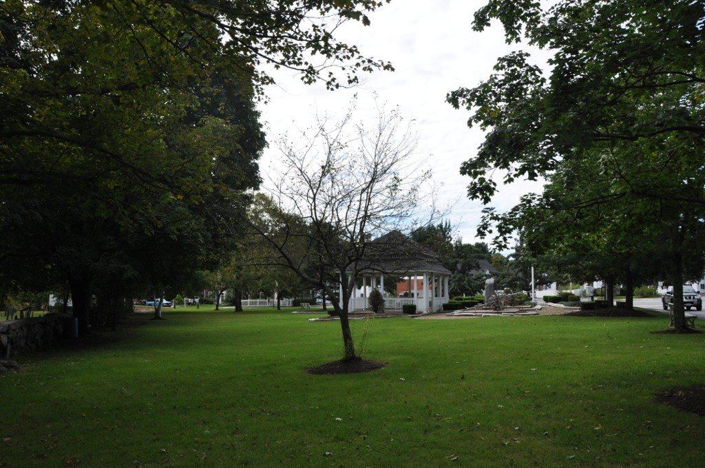
Parks in Salem, NH: where to swim, play and walk
A swimming pond, a volunteer-built playground, 347 acres of town forest and a common from the 1740s. Your guide to Salem’s green space.
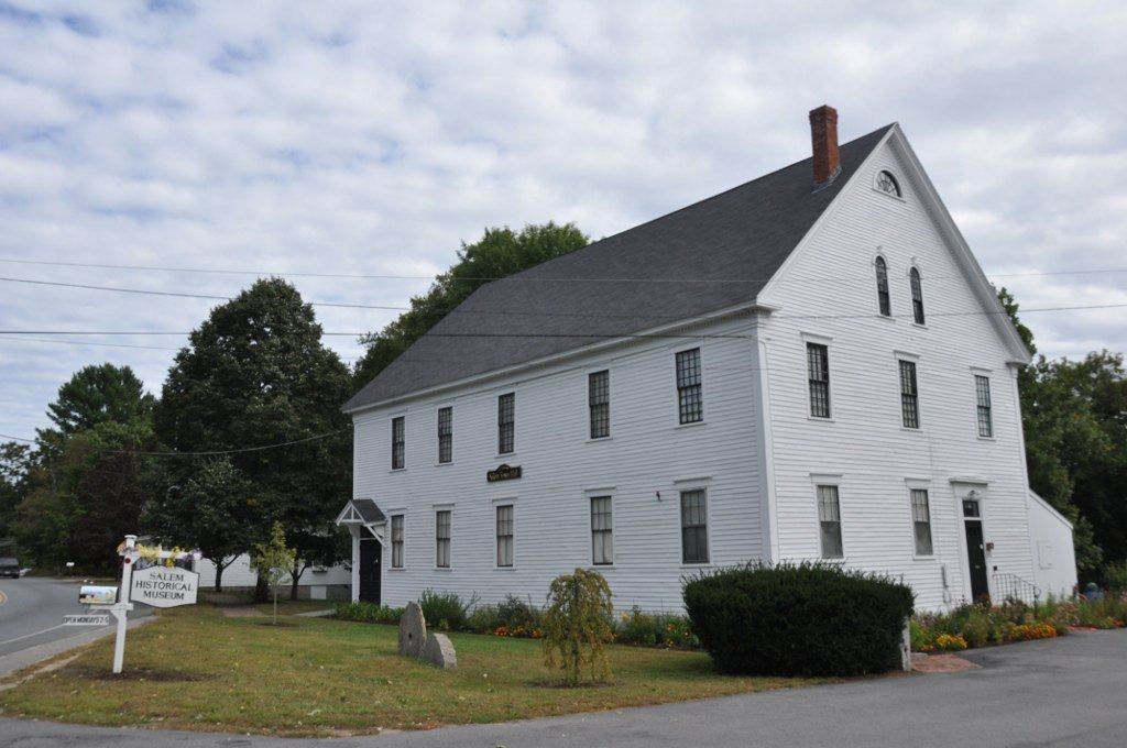
Salem, NH history: from North Parish to Tuscan Village
A meetinghouse parish, a trolley resort, a racetrack and an interstate. How a farm town on the Massachusetts line became Salem.
Free things to do in Salem, NH
Trails, festivals, concerts, a library and a holiday parade, none of which cost a cent. Bring your own snacks.